For my layers project, I decided to do a map of the San-Francisco/Bay Area (where I am from). I am going to have all water be a blue-color (similar to the color in my photo) and the land and roads will be made of balsa wood. There will be three layers: the water, the land, and the roads. This is to create both a sense of depth as well as showing the more populated areas because the areas with greater population have more roads and will then be more three-dimensional.
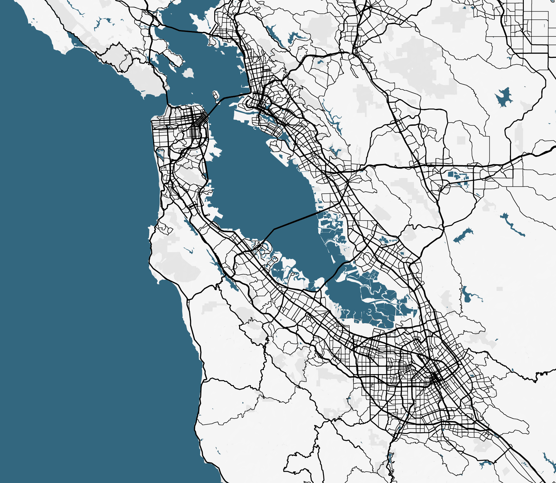
I first used a google maps extension to create a map that does not show names of places and only shows water, roads, and land. I will then isolate the roads from the land and the land from the water to create my three layers.
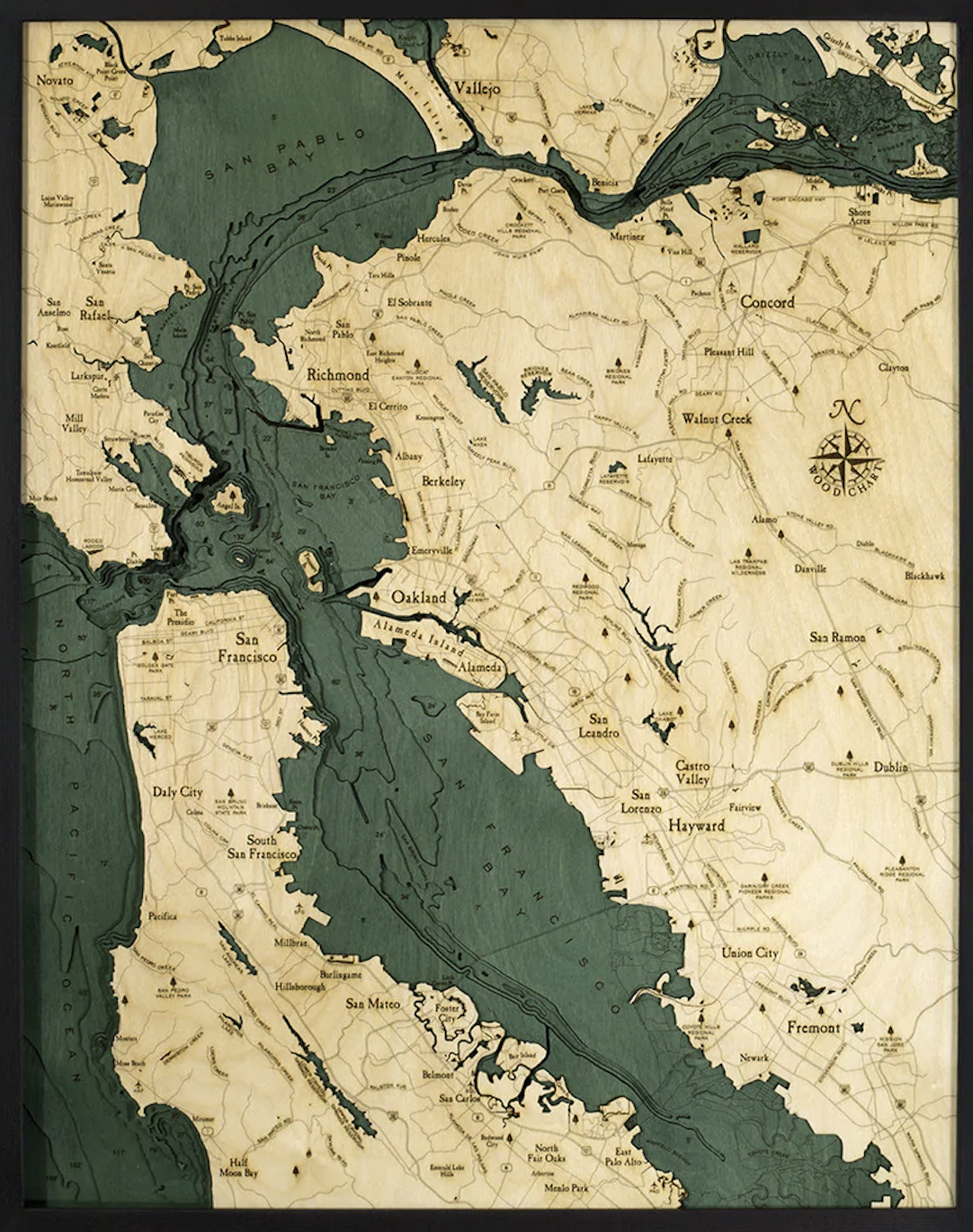
An inspiration for my project, is the map done by Below the Boat Wood Charts. I like the coloring and general format of the maps. Specifically, I like the way that the land pops out from the water.
How did you trace each road?
I separated the picture into three layers based on the color (one for the water, one for the land, and one for the roads). After that, I isolated the roads layer and in Inkscape I made the lines into paths with no fill color and red as the stroke color.
What are your thoughts about adding any unique features to the map such as your favorite places or areas that are meaningful to you?
I think that would be really cool. I was running into issues with the size of my map because the roads would cover most words and the areas of land are not very large. One way I may try to do this is through paint marks that look similar to the place marker on google maps.